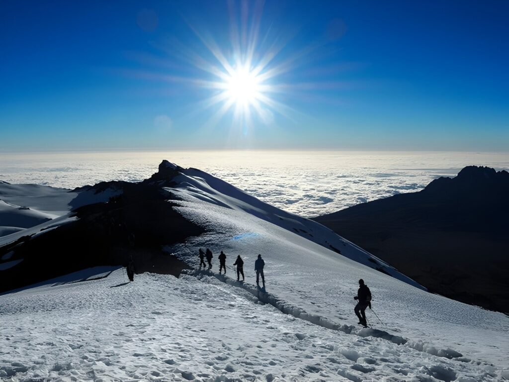
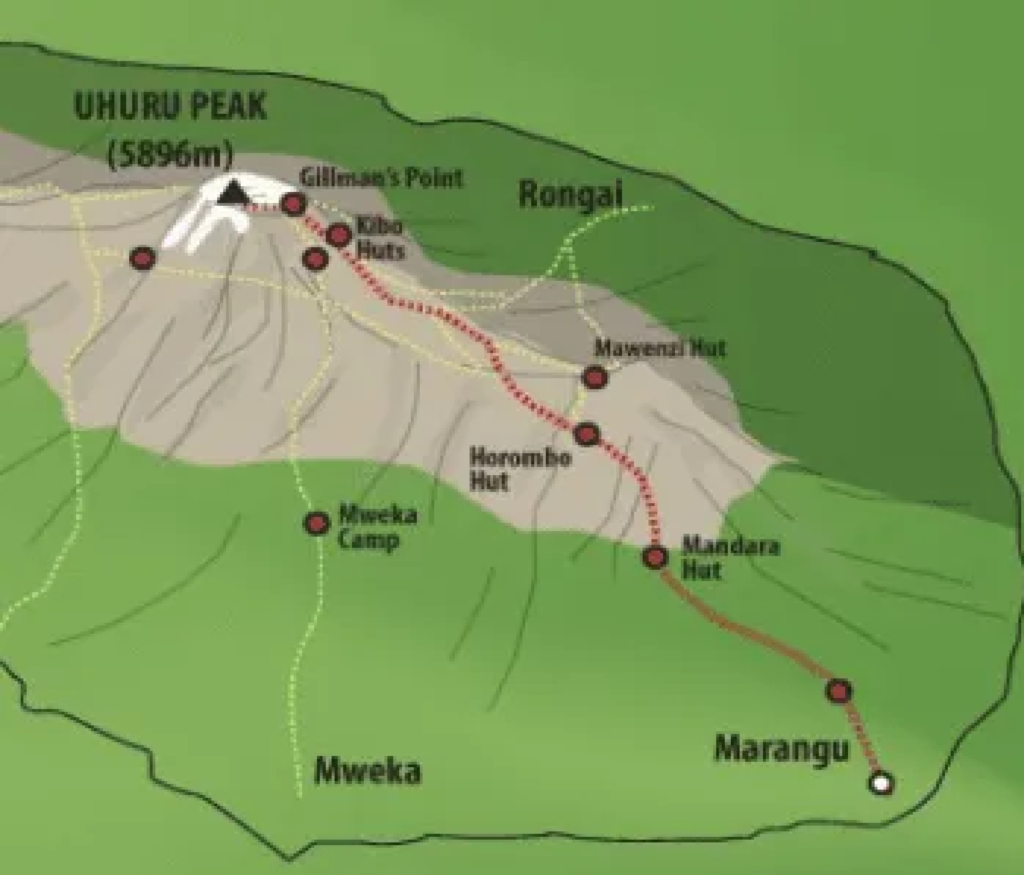
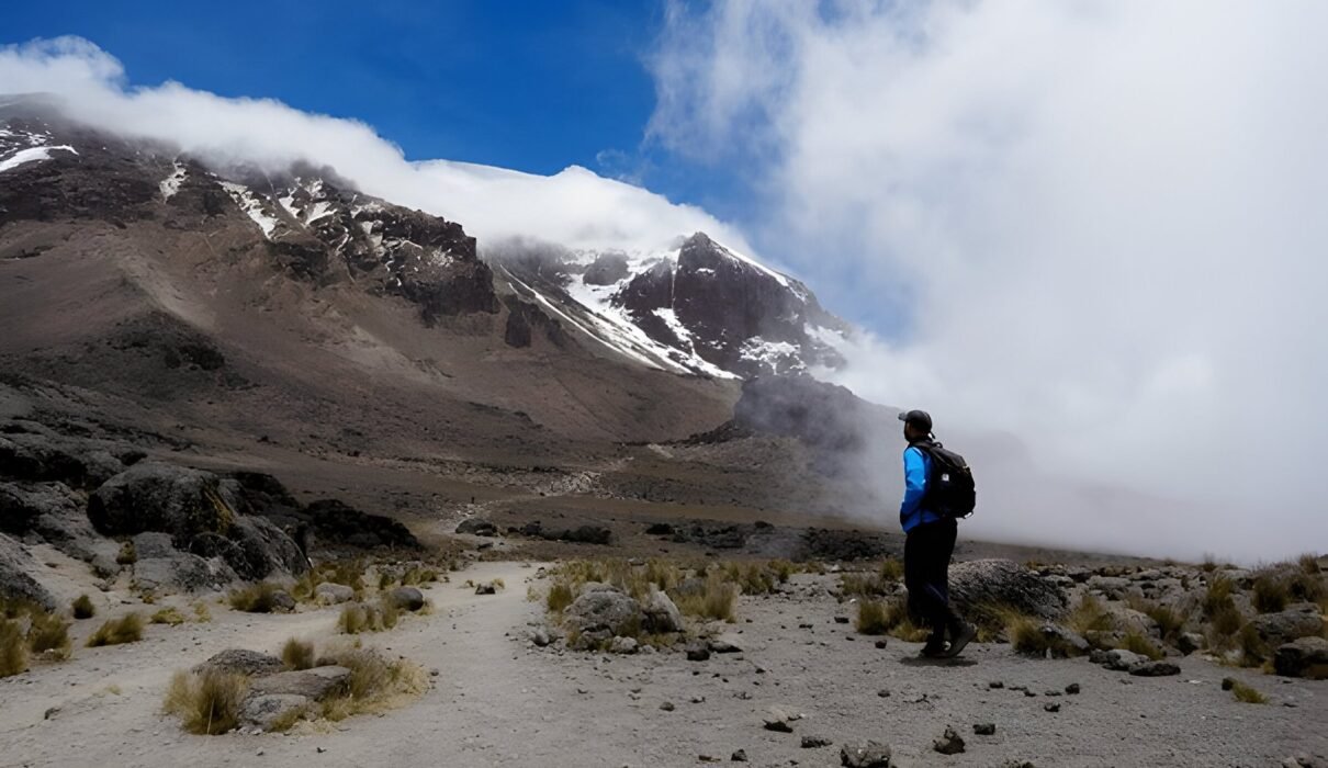
Mount Kilimanjaro Map – Routes : Planning your trek up Mount Kilimanjaro, Africa’s highest peak, requires more than just physical preparation. Understanding the layout of the mountain, including its routes, camps, and key landmarks, will help ensure a safe and successful climb. A Mount Kilimanjaro map is essential for any trekker to navigate through the five ecological zones and to choose the best route for their skill level and preferences. Here’s a detailed guide to the Kilimanjaro routes, camps, and important points of interest you’ll encounter during your climb.
Find the best Kilimanjaro trekking routes here.

Mount Kilimanjaro Map – Routes : Overview of Mount Kilimanjaro’s Routes
Mount Kilimanjaro offers multiple routes to the summit, each varying in difficulty, scenery, and acclimatization opportunities. Understanding the routes is key to choosing the one that best suits your fitness level, schedule, and trekking experience.
Machame Route (“Whiskey Route”)
The Machame Route is one of the most popular routes, known for its beautiful and varied scenery. It’s a challenging but rewarding path, typically completed in 7 days, offering a good balance between acclimatization and summit success.
- Length: 62 km (38.5 miles)
- Duration: 6-7 days
- Difficulty: Moderate to difficult
Explore more about the Machame Route.
Marangu Route (“Coca-Cola Route”)
The Marangu Route is the only route that offers hut accommodations, making it a bit more comfortable for some climbers. It’s a quicker route but has a lower summit success rate due to the shorter acclimatization period.
- Length: 64 km (39.7 miles)
- Duration: 5-6 days
- Difficulty: Moderate
Learn more about the Marangu Route here.
Lemosho Route
The Lemosho Route is known for its scenic beauty and lower traffic. It’s a longer route, offering better acclimatization and a higher summit success rate. This route joins the Machame Route before reaching the summit.
- Length: 70 km (43.5 miles)
- Duration: 7-8 days
- Difficulty: Moderate to difficult
Find out more about the Lemosho Route.
Mount Kilimanjaro Map – Routes : Important Camps and Landmarks on Kilimanjaro
Kilimanjaro’s routes are dotted with several camps that serve as rest stops and acclimatization points. These camps are vital for climbers to rest, recover, and prepare for the next leg of the journey. Each route has designated camps along the way.
Barafu Camp
Barafu Camp is the final camp before the summit push on many routes, including Machame and Lemosho. Located at 4,673 meters (15,331 feet), it’s a crucial resting point where climbers prepare for the grueling summit night.
- Elevation: 4,673 meters (15,331 feet)
- Route: Machame, Lemosho
See more details about Barafu Camp here.
Kibo Hut
For those taking the Marangu Route, Kibo Hut serves as the last overnight stop before summiting. Located at 4,720 meters (15,486 feet), Kibo is a hub of activity, with climbers making final preparations for the summit attempt.
- Elevation: 4,720 meters (15,486 feet)
- Route: Marangu
Uhuru Peak
Uhuru Peak is the ultimate destination—the highest point in Africa at 5,895 meters (19,341 feet). Reaching Uhuru Peak is a challenging but deeply rewarding experience, offering panoramic views of the vast African landscape below.
- Elevation: 5,895 meters (19,341 feet)
- Route: All
Learn more about Uhuru Peak and how to prepare.
Mount Kilimanjaro Map – Routes : Kilimanjaro’s Ecological Zones
Kilimanjaro’s unique ecological zones are one of the many features that make the trek fascinating. As you ascend the mountain, you’ll pass through five distinct zones, each offering its own beauty and challenges.
Rainforest Zone
The lower slopes of Kilimanjaro are lush with tropical rainforest vegetation. This zone receives heavy rainfall and is home to a variety of wildlife, including colobus monkeys and exotic birds.
- Elevation: 800 to 3,000 meters (2,625 to 9,843 feet)
- Climate: Warm and humid
Explore Kilimanjaro’s rainforest ecosystem.
Moorland Zone
Above the rainforest is the Moorland Zone, where the vegetation becomes more sparse, and the temperatures begin to cool. You’ll notice large heathers, wildflowers, and other hardy plants.
- Elevation: 3,000 to 4,200 meters (9,843 to 13,779 feet)
- Climate: Cool and breezy
Learn more about the Moorland Zone.
Alpine Desert Zone
As you continue to ascend, you’ll enter the Alpine Desert Zone, a dry, arid area with little vegetation. The temperatures here can fluctuate dramatically between day and night.
- Elevation: 4,200 to 5,000 meters (13,779 to 16,404 feet)
- Climate: Dry and cold
Read more about the Alpine Desert Zone.
Mount Kilimanjaro Map – Routes : Essential Gear for Your Kilimanjaro Trek
When planning your Kilimanjaro trek, packing the right gear is essential. With the varying climates and terrains, you need equipment that will keep you warm, dry, and comfortable throughout your journey.
Trekking Poles
Trekking poles are vital for providing balance and reducing stress on your knees, especially during the descent from the summit. Look for poles that are lightweight and adjustable.
Discover top trekking poles for Kilimanjaro.
Waterproof Jacket
A high-quality, waterproof jacket is essential for keeping dry during the rainy sections of the climb, especially in the lower rainforest zone.
Find the best waterproof jackets for trekking.
Mount Kilimanjaro Map – Routes : How to Choose the Best Route for You
Selecting the right route is key to your Kilimanjaro experience. Some routes are better for beginners, while others offer more scenic views or better acclimatization opportunities. Factors to consider include the number of days you have, your fitness level, and your tolerance for altitude.
Best Routes for Acclimatization
The Lemosho and Northern Circuit routes are considered the best for acclimatization because they take longer, allowing your body more time to adjust to the altitude. These routes also tend to have fewer crowds.
- Lemosho Route: 7-8 days, high success rate.
- Northern Circuit: 9 days, the longest but best for acclimatization.
Compare Kilimanjaro routes in detail.

Mount Kilimanjaro Map – Routes : Conclusion
Climbing Mount Kilimanjaro is a life-changing experience, and having a clear understanding of the routes, camps, and ecological zones will help ensure a successful ascent. By using a detailed Mount Kilimanjaro map and choosing the right gear, you can tackle the mountain with confidence and fully enjoy the journey to the summit.
For personalized trekking packages and expert guidance, visit Kilimanjaro Climb Specialist or Eddy Tours & Safaris.

